File:Kudremukh.jpg
Size of this preview: 800 × 578 pixels. Other resolution: 1,024 × 740 pixels.
Original file (1,024 × 740 pixels, file size: 519 KB, MIME type: image/jpeg)
| विवरण (Description) | कुद्रेमुख |
| चित्रांकन (Author) | Karunakar Rayker |
| स्रोत (Source) | www.flickr.com |
| उपलब्ध (Available) | Kudremukh, Shola Grasslands. |
| आभार (Credits) | wildxplorer's photostream |
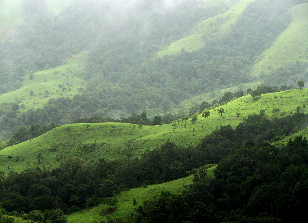
| अन्य विवरण | कुद्रेमुख कर्नाटक में स्थित एक पहाड़ी श्रृंखला है। यह चिकमंगलूर से 95 कि.मी. की दूरी पर दक्षिण-पश्चिम में स्थित है। समुद्र तल से 6,312 फुट की उँचाई पर कुद्रेमुख से अरब सागर को देखा जा सकता है। कन्नड़ में कुद्रेमुख का अर्थ होता है- 'घोड़े का मुँह'। |
|
इस चित्र का चयन मुखपृष्ठ के लिए किया गया है। सभी चयनित चित्र देखें |
|
यह चित्र क्रिएटिव कॉमन्स लाइसेंस के अंतर्गत उसके 'उपयोग के अधिकारों' का हनन किए बिना उपयोग किया गया है। कृपया चित्र के उपयोग अधिकार देखे बिना उनका उपयोग न करें। इससे चित्रों से संबधित अधिकारों के उल्लंघन होने की संभावना है। |
100px|link=http://creativecommons.org/licenses/by-nc/2.0/legalcode|center
|
This file is used under the Creative Commons license. |
| 30px|Attribution Attribution - आपको चित्र के "अधिकार धारक" का उल्लेख उसके निर्देशानुसार करना होगा किन्तु इससे यह प्रतीत नहीं होना चाहिए कि "अधिकार धारक" आपके अपने कार्य का समर्थन कर रहा है। [You must attribute the work in the manner specified by the author or licensor (but not in any way that suggests that they endorse you or your use of the work).] | ||
File history
फ़ाइल पुराने समय में कैसी दिखती थी यह जानने के लिए वांछित दिनांक/समय पर क्लिक करें।
| Date/Time | अंगुष्ठ नखाकार (थंबनेल) | Dimensions | User | Comment | |
|---|---|---|---|---|---|
| current | 10:11, 8 August 2012 | | 1,024 × 740 (519 KB) | फ़ौज़िया ख़ान (talk | contribs) |
You cannot overwrite this file.
File usage
The following page uses this file: